Hydra - a 3d surface modelling dll
Main fatures:
- Calculation of isolines with colored polygonization, that are generally used in geoinformatics.
- The algorithms are optimized for sparse input data (and for speed). The calculations create a rectangle-shaped grid, whose points are interpolated by the sparse, often unevenly distributed input (height) points.
- Visualization of the calculated data in popup windows (the lines and the surfaces, the latter in 3d, too).
- The popup windows allow the user to configure the visulization, to set:
- the number of isolines (the height difference between them)
- the colors of the levels
- the mode of the coloring:
- height
- gradient
- exposure (the horizontal direction of the given point, the direction the surface 'looks into')
- the viewpoint in 3d
- Usability with the ECalc: the two dimensional functions can be spectacularly visualized.
- Text-based interface: the data exchange can be done through textual data, too (using the clipboard). This mode was useful in Visual Basic applications.
Screenshots:
| 
| 
| 
| 
| 
|
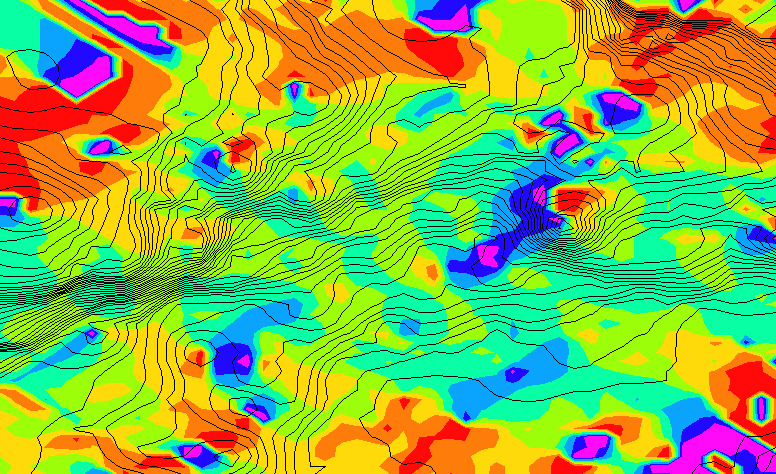
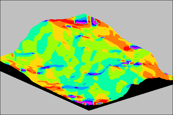
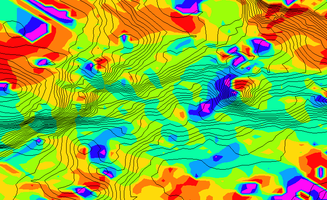
| Heights and isolines
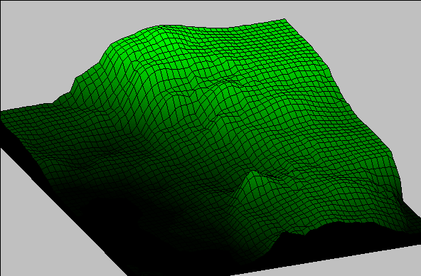
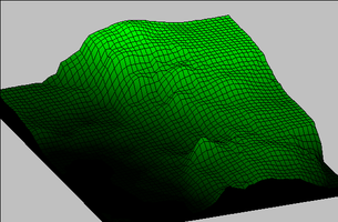
| Heights and isolines in 3d
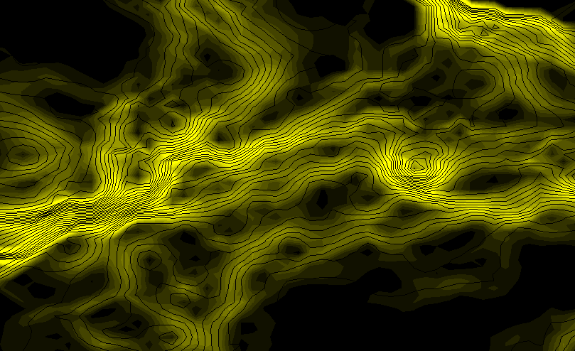
| Exposures
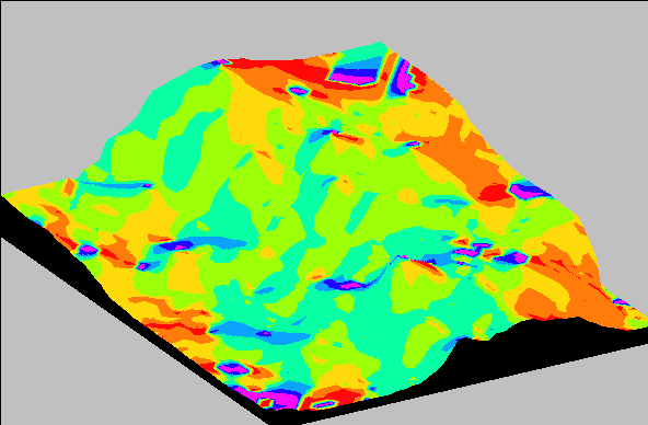
| Exposures in 3d
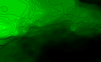
| Gradients
| Exposures in animation
|